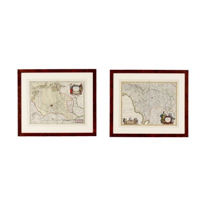
Pair of 17th century engravings - Maps of the Duchy of Milan and Florence
Features
Maps of the Duchy of Milan and Florence
Artwork title: Coppia di incisioni del XVII secolo
Age: 17th Century / 1601 - 1700
Subject: Maps
Artistic technique: Printing
Technical specification: Engraving
Description : Coppia di incisioni del XVII secolo
Engravings. The two prints show one the map of the "Duchy or territory of Milan", the other that of the "Florentine dominion". Below is quoted "Amsterdam, apud Johannem Iansonium", referring to the production of Johannes Janssonius (1588 - 1664), Dutch cartographer, publisher and engraver who in 1638 created the Atlas Novus, consisting of three volumes, one of which entirely dedicated to 'Italy. In good condition, they have the central fold of the book. In frame.
Product Condition:
Product in good condition, with small signs of wear.
Frame Size (cm):
Height: 59
Width: 68,5
Depth: 1,5
Artwork dimensions (cm):
Height: 41
Width: 52


